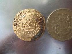
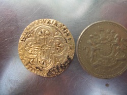
All my videos can be seen here
Click on any of the photos to enlarge and click close when finished
The Thames, Tamesas or Tamesis
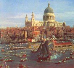
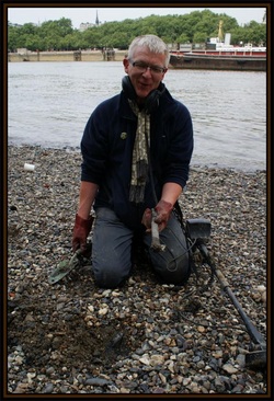
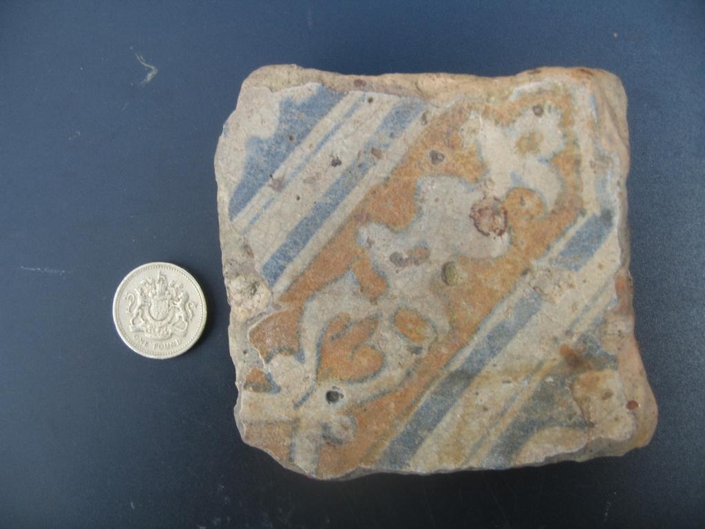
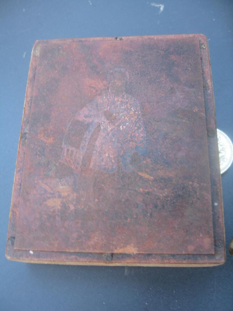
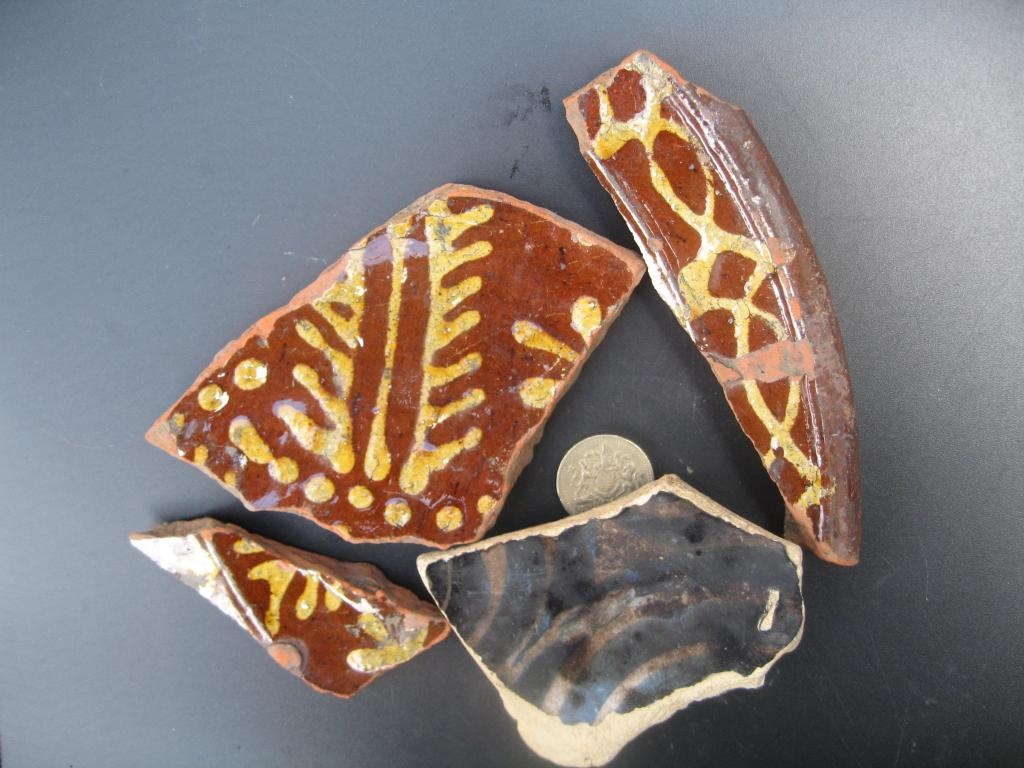
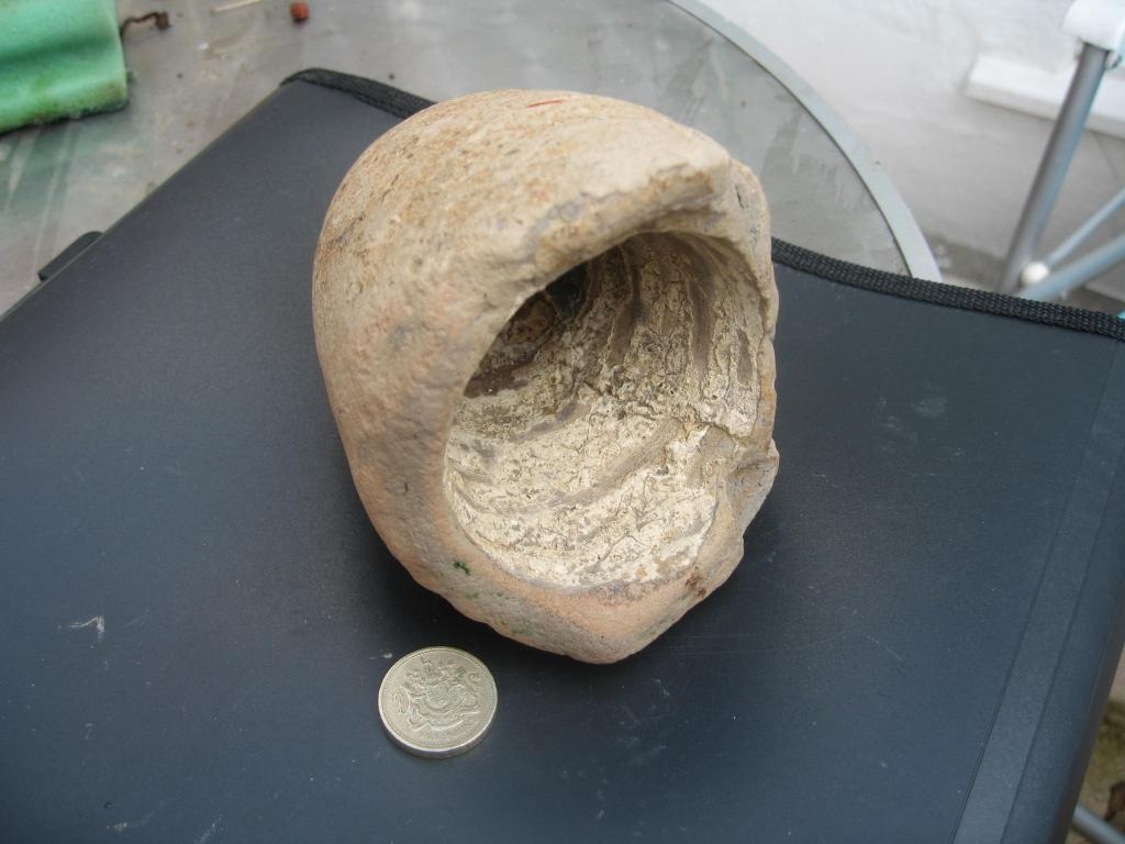
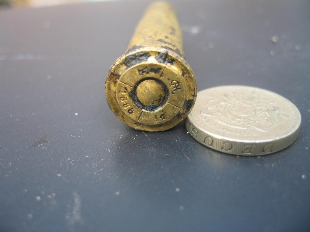
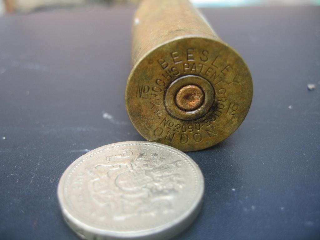
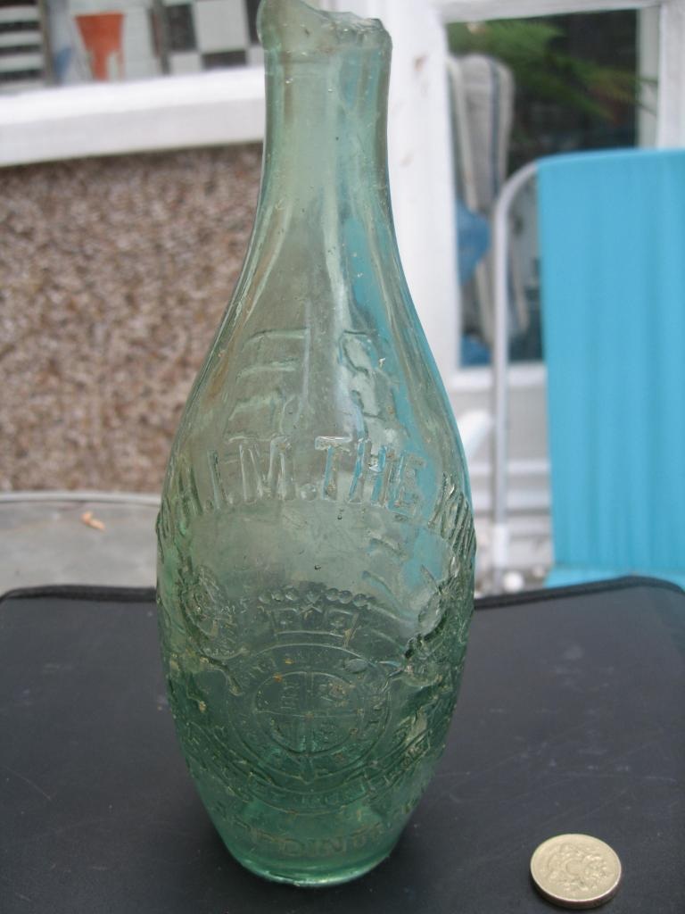
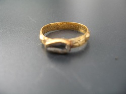
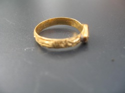
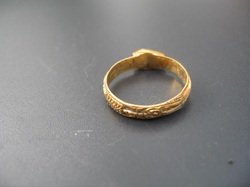
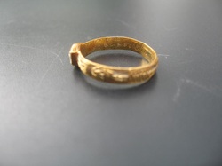
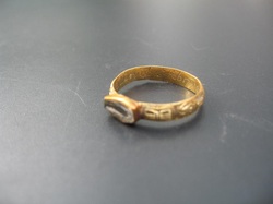
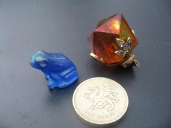
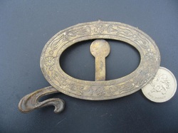
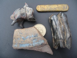
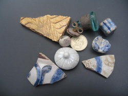
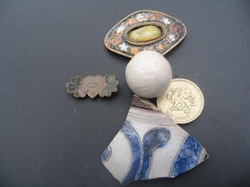
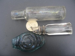
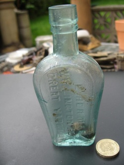
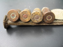
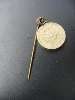
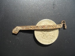
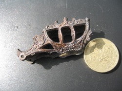
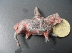
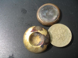
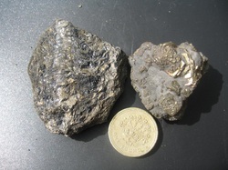
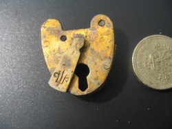
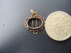
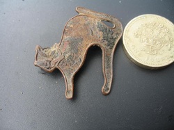
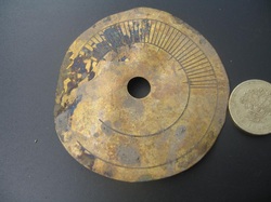
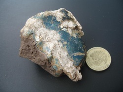
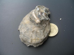
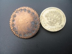
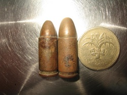
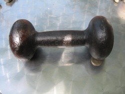
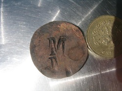
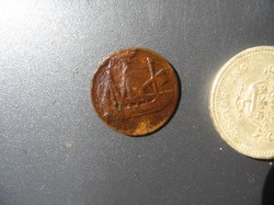
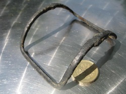
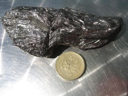
I have been mudlarking at The Thames a few times and will post my finds above. Permit number S/632/10
From: http://en.wikipedia.org/wiki/River_Thames
There is evidence of human habitation living off the river along its length dating back to Neolithic times.[17] The British Museum has a decorated bowl (3300–2700 BC), found in the River at Hedsor, Buckinghamshire and a considerable amount of material was discovered during the excavations of Dorney Lake.[18] A number of Bronze Age sites and artefacts have been discovered along the banks of the River including settlements at Lechlade, Cookham and Sunbury-on-Thames. So extensive have the changes to this landscape been that what little evidence there is of man's presence before the ice came has inevitably shown signs of transportation here by water and reveals nothing specifically local. Likewise, later evidence of occupation, even since the arrival of the Romans, may lie next to the original banks of the Brent but have been buried under centuries of silt.[19]
Some of the earliest written accounts of the Thames occur in Julius Caesar’s account of his second expedition to Britain in 54BC[20] when the Thames presented a major obstacle and he encountered the Iron Age Belgic tribes the Catuvellauni and the Atrebates along the river. The confluence of the Thames and Cherwell was the site of early settlements and the River Cherwell marked the boundary between the Dobunni tribe to the west and the Catuvellauni tribe to the east (these were pre-Roman Celtic tribes). In the late 1980s a large Romano-British settlement was excavated on the edge of the village of Ashton Keynes in Wiltshire, in advance of extensive gravel extraction.
Under the Emperor Claudius in AD 43 the Romans occupied England and, recognising the River's strategic and economic importance, built fortifications along the Thames valley including a major camp at Dorchester. Two hills, now known as Cornhill and Ludgate Hill, provided a firm base for a trading centre at the lowest possible point on the Thames called Londinium where a bridge was built. The next Roman bridge upstream was at Staines (Pontes) to which point boats could be swept up on the rising tide with no need for wind or muscle power. A Romano-British settlement grew up north of the confluence, partly because the site was naturally protected from attack on the east by the River Cherwell and on the west by the River Thames. This settlement dominated the pottery trade in what is now central southern England and pottery was distributed by boats on the Thames and its tributaries.
Many of the Thames’ riverside settlements trace their origins back to very early roots and the suffix—“ing” in towns such as Goring and Reading owe their origins to the Saxons. Recent research suggests that these peoples preceded the Romans rather than replaced them.[21] The river’s long tradition of farming, fishing, milling and trade with other nations started with these peoples and has continued to the present day. Competition for the use of the river created the centuries-old conflict between those who wanted to dam the river to build millraces and fish traps and those who wanted to travel and carry goods on it. Economic prosperity and the foundation of wealthy monasteries by the Anglo-Saxons attracted unwelcome visitors and by around AD 870 the Vikings were sweeping up the Thames on the tide and creating havoc as in their destruction of Chertsey Abbey.
Once King William had won total control of the strategic Thames Valley he went on to invade the rest of England. He had many castles built, including those at Wallingford, Rochester, Windsor and most importantly the Tower of London. Many details of Thames activity are recorded in the Domesday book. The following centuries saw the conflict between King and Barons coming to a head in AD 1215 when King John was forced to sign the Magna Carta on an island in the Thames at Runnymede. This granted them among a host of other things under Clause 23 the right of Navigation. Another major consequence of John’s reign was the completion of the multi-piered London Bridge which acted as a barricade and barrage on the river, affecting the tidal flow upstream and increasing the likelihood of freezing over. In Tudor and Stuart times the Kings and Queens loved the river and built magnificent riverside palaces at Hampton Court, Kew, Richmond on Thames, Whitehall and Greenwich.
The 16th and 17th centuries saw the City of London grow with the expansion of world trade. The wharves of the Pool of London were thick with seagoing vessels while naval dockyards were built at Deptford. The Dutch navy even entered the Thames in 1667 in the raid on the Medway.
[edit] Human history post-1606 A cold series of winters led to the Thames freezing over above London Bridge, and this led to the first Frost Fair in 1607, complete with a tent city set up on the river itself and offering a number of amusements, including ice bowling. In good conditions barges travelled daily from Oxford to London carrying timber and wool, foodstuffs and livestock, battling with the millers on the way. The stone from the Cotswolds used to rebuild St Paul’s Cathedral after the Great Fire in 1666 was brought all the way down from Radcot. The Thames provided the major highway between London and Westminster in the 16th and 17th centuries and the clannish guild of watermen ferried Londoners from landing to landing and tolerated no outside interference. In AD 1715 Thomas Doggett was so grateful to a local waterman for his efforts to ferry him home pulling against the tide, that he set up a rowing race for professional watermen known as “Doggett's Coat and Badge”.
By the 18th century, the Thames was one of the world's busiest waterways, as London became the centre of the vast, mercantile British Empire and progressively over the next century the docks expanded in the Isle of Dogs and beyond. Efforts were made to resolve the navigation conflicts up stream by building locks along the Thames. After temperatures began to rise again, starting in 1814, the river stopped freezing over completely.[22] The building of a new London Bridge in 1825, with fewer pillars than the old, allowed the river to flow more freely and reduced the likelihood of freezing over in cold winters.[23]
The Victorian era was an era of imaginative engineering. In the 'Great Stink' of 1858, pollution in the river reached such proportions that sittings at the House of Commons at Westminster had to be abandoned. A concerted effort to contain the city's sewage by constructing massive sewers on the north and south river embankments followed, under the supervision of engineer Joseph Bazalgette. Meanwhile, similar huge undertakings took place to ensure water supply, with the building of reservoirs and pumping stations on the river to the west of London. The embankments in London house the water supply to homes, plus the sewers, and protect London from flood. The coming of rail added both spectacular and ugly railway bridges to fine range of earlier road bridges but reduced commercial activity on the river. However sporting and leisure use increased with the establishment of regattas such as Henley and The Boat Race. On 3 September 1878, one of the worst river disasters in England took place, when the crowded pleasure boat Princess Alice collided with the Bywell Castle, killing over 640 people.
The growth of road transport and the decline of the Empire, in the years following 1914, reduced the economic prominence of the river. During World War II the protection of the Thames was crucial to the defence of the country. Defences included the Maunsell forts in the estuary and barrage balloons to cope with the threat of German bombers using the distinctive shape of the river to navigate during The Blitz. Although the Port of London remains one of the UK's three main ports, most trade has moved downstream from central London. The decline of manufacturing industry and improved sewage treatment have led to a massive clean-up since the filthy days of the late 19th and early- to mid-20th centuries, and aquatic life has returned to its formerly 'dead' waters. Alongside the river runs the Thames Path, providing a route for walkers and cyclists.
In the early 1980s a massive flood-control device, the Thames Barrier, was opened. It is closed several times a year to prevent water damage to London's low-lying areas upstream (as in the 1928 Thames flood for example). In the late 1990s, the 7-mile (11 km) long Jubilee River was built, which acts as a flood channel for the Thames around Maidenhead and Windsor.[24]
From: http://www.julianstockwin.com/Thames.htm
ondon at the turn of the eighteenth century was much smaller than it is now of course. Upstream of Westminster Abbey and the Houses of Parliament were green fields and the country, while downstream, the great city spread out, mostly on the left side. The river did a single bend to the right, and on the way was Whitehall, the Bank of England, St Pauls. Then it was the Tower of London and before the Thames had time for another wiggle it was all over, green fields again. But the real heart of London, its real reason for being there, was the Port of London. This was the biggest in the world at the time, a wonder of the age. It was the undisputed centre for handling cargoes to and from all over the newly explored world. If you were to stand on London Bridge looking downstream you’d see the most amazing sight. In a space of water not a couple of hundred yards across was crammed a great mass of shipping – snows, galliots, hermaphrodite barques, cats, tilt‑boats; every conceivable type under every kind of flag.There were 8000 ship movements in and out of port in 1793, these increased to 16,000 by 1824, all in this one part of the river. One great forest of masts. From big ocean‑going East Indiamen to colliers from the north, they all rafted up together, for there were no quays to come alongside. The ships would tie up to each other, and lighters would come out to load or take out the cargo.
The Port of London was not all that big, in fact the whole thing was really concentrated at the point which was as far up the Thames that big ships could go. This was the impassable barrier of London Bridge (that’s the one next up from present day Tower Bridge). And here they all arrived, handily right in the centre of the capital. The Port of London is a stretch of river from London Bridge a couple of miles down river to the first bend. The ships would have to make their way up from Tilbury at the mouth about 25 miles upstream and through a dozen sweeping bends, crammed with other ships all moving in either direction and with fluky winds. Most were square‑riggers which could only keep within six points of the wind – a tough sail. A foul wind could hold up arrivals for weeks, and the Bank of England fitted a special wind dial indicator in the main dealing room so bankers could tell at a glance whether a sighted vessel would make it to London in time to land cargo to meet the terms of a Bill of Exchange. It’s still there to this dayLondon and the Thames were right up until the middle of the twentieth century totally mutually dependent. It was the port in Britain to action the economic basis for the coming Industrial Revolution. But in Kydd’s day it was more – we’re used to taxis, buses, trains and so on. In the eighteenth century you thought long and hard about even the smallest journey, and in London that meant sedan‑chair or slow stage‑coach or carriage through muddy streets and appalling traffic jams. The only practical method was by river, and this was the main highway of the time. There were many other maritime features ‑ the great marine observatories at Greenwich, the gun foundry at Woolwich Arsenal which is still occupied by MoD, and Henry VIII’s Trinity House, which looked after buoys and lighthouses, and still does to this day ‑ and there were shipbuilders up and down the river. At Blackwall many famous frigates were built for the French wars. Rotherhithe, Deptford, was known for King’s ships since Shakespeare’s day. The radically designed HMS Warrior, now on show in Portsmouth, was a Thames vessel.
Support for these ships had to be on an industrial scale. If you think of the kind of stores a single ship had to load for a voyage to far places of over a year, you get an idea of what was needed - multiplied by 1000s of ships. Breweries to make the small beer that was taken instead of water, ship’s biscuits, the hard‑tack – Rotherhithe manufacturers such as Peek‑Frean and Jacobs are still with us, although not in the hard‑tack business any more – the list goes on and on. There were skilled men everywhere – such as coopers making great casks who were there on dockside right up to the 1960s. The men who manned the lighters or barges, the lightermen, were also very skilled, steering with long 20 foot long oars they could bring a lighter from the ship to the wharf by tide‑power alone.
But the real professionals, and it took a full seven year apprenticeship, were the river taxi‑drivers, the watermen. In the eighteenth century they would gather their red or green wherries (a sharp bowed skiff) around one of the many ‘stairs’ or boarding points, like Horseferry stairs, Puddle dock, King’s stairs. A passenger would approach and they’d shout ‘oars, oars’. The passenger would point at one, and the others would turn on the lucky one and abuse him loudly. They were very independent, often garrulous, uncouth and arrogant, happily screeching insults at passing rivals, but they were very good at what they did, especially at ‘shooting the bridge’ which was what they called passing through London Bridge. This was like a weir, so fast were the tides. Passengers could get their money back if they were tipped into the river, or they could prudently take precautions, landing before the bridge and boarding again after. The oldest sporting event in the world is the Doggetts coat and badge race for first year watermen and runs to this day. In fact there are still watermen, and one of their privileges is delivering the Royal Crown from the Tower of London to Westminster at the state opening of parliamentbe held on the ice. Gentlemen and their ladies would stroll arm in arm, there’d be plenty of entertainment, with bear baiting, an ox‑roast, cricket match and so on, all on the ice. The watermen couldn’t ply for hire, so they had races in which their boats were hauled over the ice by horses.
The Thames was smelly then but actually not as much as later – people were still catching salmon in the City in 1800. In the eighteenth century the practice was for night‑soil men to take away the liquid waste for industrial uses, and the other for manure, it was just too valuable to throw away. It wasn’t until the huge explosion of population in Victorian times coinciding with the invention of the flush toilet that the stinks and health hazards really came. In 1800 for drinking water they still relied on a big waterwheel next to London Bridge to pump up water direct from the Thames.
The river would smell rank, but this would be overlaid by other fragrances. Writers of the time use the word ‘spicy’ a lot, the scent of cargoes – cinnabar, ginger, tea, sandalwood, hemp – and of course the unmistakable rich whiff of sea‑worn ropes and tar. Downstream there were other smells. The ink and dye works at Deptford had very pungent copper salts, and Berger paints were nearby. The worst were the leather tanneries around Bermondsey – 30 of them! They started a vinegar factory in the middle with the idea of countering one smell with another, and miraculously, it was still going in 1991. Around the bend in the river are the Greenland docks. This was well into the country, for there the whalers used to return and the oil was processed. This caused a stink so bad that people choked. But back in the city the main smell was that of horses and their dung – uncountable thousands of horses. And the sea‑coal – you could see where London was from the Downs because of the big brown cloud hanging over it from the sea‑coal fires.
When a sailor returned after a voyage he’d be on the ran‑tan ashore just as fast as he could. The main area was Wapping, roughly from where the Tower of London is until the river bends. It was a maze of tiny streets and alleys, with names like Cat’s Hole, Shovel alley, the Rookery, Dark Entry and so on. A wider road called Ratcliffe Highway ran through it, lined with shops, taverns, ship’s chandlers, doss‑houses and so on. It still exists, now called simply ‘The Highway.’
Every shop had a sailor’s lodgings above it and every kind of sharp practice was used to part the sailor from his hard‑earned silver. Across the river in Southwark and Rotherhithe it was the same, and we know from Chaucer that it has a pretty long history. There are still some of the old pubs – the Prospect Of Whitby in Wapping, a fine old place, the Town Of Ramsgate in Rotherhithe ‑ these were named after ships that regularly tied up outside. The Grapes in Limehouse gets a mention in Dickens and the Mayflower pub stands on the spot where the Pilgrim fathers sailed for America.
It’s thought that in the eighteenth century between a quarter and a third of all cargoes arriving were stolen. It varied a lot in seriousness. At one end of the scale their would be scams such as a fake agent meeting a ship and bargaining with the captain to ease the task of landing his cargo, organising lighters, customs clearance, porters and so on. The captain would agree and the cargo would be landed alright – but that would be the last he saw of it. At the other end of the scale were the mudlarks or scuffle hunters. These were young scamps who would skip aboard a vessel working cargo and suddenly throw something overboard before escaping. This article they could then retrieve from the mud later when the tide went out. River pirates were a real menace, so when they were caught they paid the penalty – and then their bodies were hung in chains in Execution dock until their skeletons had disarticulated. You can still see the sea‑wall near St Katherine’s dock.
The docks changed the face of the Thames. We think today of the Pool of London and the endless docks, but before the Napoleonic wars there was not even one! Then in 1802, and only to combat the thieving of cargo, out in the country the West India dock was built, with high walls and controlled security. Ships would come to a stop outside, lower their sails, and then be pulled inside by powerful land capstans. It was an instant success, and other docks were quickly dug. This brought all more support services and soon London had doubled in size, and only just in time, for the number of ship movements would double as well in just 22 years.
From: http://www.the-river-thames.co.uk/history.htm
In world terms the River Thames is a relatively insignificant river being only a mere 215 miles (344 km) long but it is England's greatest river. Not only does it flow across much of the centre of the country, it is said that many of the events that made English history happened near, or were affected by, the Thames.
The bones of the oldest man (in fact a woman) to have been found in Britain, lived along the Thames perhaps a quarter of a million years ago. Her skull was found in the gravels in Swanscombe on the south bank of the Thames in north Kent.
There is evidence that the earliest of man wandered into Britain across Europe from Africa about half a million years ago, crossing from Africa to Spain across land that then spanned the Straits Of Gibralter. These people, known as Chellean man, lived in small communities probably in trees in river valleys or in caves along the sea shore. They used the earliest of shaped tools formed from flintstone chipped to a jagged edge following the natural contours of the stone. Chellean axes have been found in the Wey Valley, one of the lower tributaries of the Thames, and no doubt he wandered into the Thames valley itself. Chellean man was around for some 300,000 years.
He was succeeded by Acheulian man who was a better craftsman than his predecessors. He gave his flint axes a straight cutting edge which made them more efficient. This period spanned about 65,000 years.
Hand axes, believed to date from this period, have been found in the Thames Valley near Sutton Courtney, Abingdon, Crowmarsh Gifford, Radley and Wallingford.
These relics indicate that early man settled in the Thames Valley before the onset of the last glaciation period and it is quite conceivable that some of these earliest settlers made their way up the Thames on simple log rafts or dugouts.
As glaciation became more severe and life in the Thames Valley grew more difficult, primative man retraced his steps and returned from where he came. It must be remembered that at that time Britain was still connected to continental Europe (See The River Thames - Its Geology, Geography and Vital Statistics)
With improvements in climate after about 10,000 BC, the River valleys again became attractive to settlers. About this time there was consderable movement of people from western Asia into Scandanavia called Maglemosian. They were skilled with boats and it was probably relatives of thes people that made their way into Britain across the Rhine, up the Thames to Reading and along the Kennet to Thatcham where a large settlement of these peoples have been found. It seems that this settlement was in use for about 1000 years from 8400 BC to 7500 BC.
Around 6500 BC, Britain was finally severed from continental Europe, but exactly how the next wave of settlers reached the Thames Valley is unknown. It is however known that these people brought with them improved techniques for making flint implements, pottery and other domestic skills. This culture is known as Neolithic (New Stone Age) Man. They probably originated from the Mediterranean area and travelled through France and finally landed in England along the beaches of the south coast. They found their way from the coast through Dorset and Wiltshire into the Thames Valley where they cleared forests and dense undergrowth and began to plant crops.
Whilst there are very few remains of these early settlements, a picture of life at that time can be pieced together from a group of finds at Abingdon. In this early Neolithic settlement, a number of grain storage pits and traces of cooking hearths, with pots and bones around them, have been found. The specimens found show that these people had an advanced skill in crafting flint including arrowheads, polished axes, knives, scrapers and the blade of a flint sickle.
As the Neolithic period merged into the Early Bronze Age around 2000 BC, the next wave of settlers made their way from Spain into the Low Countries and from there, by sea, into the Thames Estuary and up the River. They were called Beaker people from the pottery they brought with them. They also brought bronze and gold and knew how to work them. This knowledge of metals increased the range of skills and trade.
A number of Bronze Age sites and artifacts have been discovered along the banks of the River including settlements at Lechlade, Cookham and Sunbury-on-Thames.
From 500 BC, the Iron Age Celts from Gaul crossed the Channel, sailed up the Thames and spread throughout the Country bringing with them new iron weapons and tools but they did not come peacefully.
One of their early settlements has been found at Wittenham Clumps near Dorchester but this bronze Celtic shield was found in the River Thames at Battersea. It has had the enamelling restored.
In the last centuaries BC, powerful Belgie tribes crossed the Channel. The Catuvellauni tribe established themselves on the north bank of the Thames as far as the River Cherwell, and by conquering the Trinovantes, in what is now Essex, took control of the north bank of the Thames Estuary. Another Belgic tribe, the Atrebates, pushed up from the south coast and made there settlements south and west of the Thames. But these tribes did not have it all their own way. In the Thames Valley above Oxford, the non Belgie people, the Dobunni, held on to their land by resisting attempts by both the Catuvellaunis and Atrebates to take over their territory. The Dobunni were to do well out of the Roman Conquest that followed as they were non Belgie, hostile to the Catuvellaunis and Atrebates and accepted the Romans as allies rather than conquerors.
It was the Romans however, first commanded by Julius Caesar in 55 BC and later by the Emperor Claudius in AD 43, who probably first recognised the River's strategic and cultural importance. They called it Tamesis. They built fortifications along the Thames valley from Cirencester to the Estuary with a major camp at Dorchester (which they called Dorcicon). This camp was overlooked by the early Celtic settlement at Wittenham Clumps on the twin hills of Sinodun ('dun' is Celtic for fort).
The Romans also had a camp on the site of the Tower of London.
It is thought that the Romans bridged the Thames in London in c.AD 50, on the site of the first stone Bridge built in 1176 (this was the only bridge to cross the Thames in London until 1749) and Staines (which they called Pontes after the bridge) but the great Roman roads Watling Street, Fosse Way, Ermine Street and the improved Icknield Way also crossed the Thames but as fords. The Romans were also the first to develop the Thames as a major trade route and laid down the foundations for the Port of London which by the nineteenth century had become the largest in the world.
The influence of the Romans began to wane in the middle of the fourth century and in c.AD 367 the Saxons raided England and penetrated the Thames as far as Dorchester. In AD 411 the Romans left and the Saxon raids intensified and as they settled they established hamlets all along the Thames.
During this period, St. Augustine landed in AD 597 on The Isle of Thanet having been sent to England by Pope Gregory to convert the country to Christianity which led, in less than a century, to the initial founding of the great Thames-side monasteries of Chertsey (AD 666) and Abingdon (AD 675). In AD 635, St. Birinus was sent from Rome to Wessex where he met Cynegils, King of Wessex, at Dorchester and baptised him in the Thame or Thames, thus bringing Christianity to Wessex. St Birinus set up his see at Dorchester where he built an Abbey but only the Abbey Church remains today.
Despite later invasions by the Vikings (Danes), who in AD 870 penetrated the Thames as far as Reading, the Thames is still largely a Saxon River. This Saxon influence can still be recognised today as Sonning, Reading and Goring are all named after some of their leaders (the suffix 'ing' being short for 'inga' meaning 'of the family, clan or tribe of...'). The words 'Weir' and 'Eyot' are also of Saxon origin. For a list of the meanings of some place names along the Thames, take a look at The River Thames - The Meaning of Place Names.
This Saxon influence is mainly attributable to Alfred the Great (considered to be the first King of England) who formed a defensive line along the river from where, in the 870's, he fought the Danes to a standstill. In AD 878, the Danes withdrew to East Anglia and agreed by treaty to stay north of the Thames and out of London. King Alfred died in AD 899 following which the Danes made further raids along the River and reached Oxford and by AD 1014 the Danish King Cnut was ruling England.
It was not difficult for the Anglo-Saxons, Danes (and later the Normans) to live together. One of the first things Cnut did was to hold an assembly in Oxford at which it was agreed that the laws and customs of the Anglo-Saxons should be recognised south of the River Thames and Danish law to the north.
This was not the first time that the Thames provided a border. It was the border between the Belgie tribes of the Catuvellaunis and the Atrebates prior to the Roman Invasion. In AD 600 it was the border between Wessex and Mercia, with Wessex to the south and Mercia to the north.
In 1066, William of Normandy ( William the Conqueror) landed at Pevensey and after ransacking the Thames-side town of Southwark, marched his army along the south side of the Thames to Wallingford where he crossed into Oxfordshire. The Normans were practical and with their stone buildings, brought further developments. They built major fortresses along the River with castles at Wallingford and, perhaps more notably, Windsor and the Tower of London.
In subsequent centuries the defence of the Thames against European invasion has always been a priority. The Tudors and Stuarts expanded the defences further but this did not stop the Dutch invasion up the Rivers Thames and Medway in 1667.As late as 1940 further defensive measures were taken by the building of a chain of some 5000 Pill-boxes along the River, from the Kent coast at Chatham to the west coast at Bristol, as a defence against a possible German invasion.
The geographic importance of the Thames has always been recognised by the Christian Church and Abbeys, Monasteries and other religious buildings were built along its banks including those at Lechlade, Oxford, Abingdon, Dorchester, Reading and Chertsey. Until the dissolution of the Monasteries by Henry VIII in 1536, they played an important role in the economic development of the River.
During the Civil War (1642-48), which was essentially one of skirmishes and sieges rather than major battles, trade up the Thames was severely disrupted. Although some regions of the country saw little fighting, others were constantly marched over and occupied by rival armies.
The Thames Valley was amongst the worst as Oxford was the seat of Charles I and his Royalist Court (the Cavaliers) and Reading was occupied by the Parliamentarians (the Roundheads) led by Oliver Cromwell. A number of the bridges crossing the Thames were fought over by the two factions.
Although the commercial exploitation of the River had commenced in Roman times, it was not until the Middle Ages that fishing and milling became significant. There had always been an abundance of fish in the River, including trout, salmon and eels (and nearer the Estuary shrimps and cockles) so much so that these fish became the staple diet of those living by the River including the poor. However, by the eighteenth century pollution of the River had taken its toll and the variety and quantity of fish diminished. It is pleasing to note that over the last few years much has been done to clean up the pollution and as a consequence the River quality has improved considerably.
Fishermen and millers had always been in dispute about their conflicting needs but from the Middle Ages this conflict increased to include the bargemen as weirs and other structures were being built across the River to control the flow of water. These weirs impeded the barges rights of passage and they had to build and use Flash Locks - a dam with removable parts to allow the barges to literally 'flash' down on the release of a rush of water. Going upstream was more laborious with the barges having to be towed or winched up against the current.
In 1215, King John was compelled by the Barons to sign Magna Carta in a meadow by the Thames at Runnymede. It has been suggested that it was sealed on the adjacent Magna Carta Island, but this is a myth as the island is artificial and was not actually created until 1834. Magna Carta (Great Charter) established the principles of freedom guaranteed by law and is the basis upon which we have been governed since that time. In Clause 23 it also recognised the the right to navigate on the Thames as it stated:
"all weirs from henceforth shall be utterly put down by Thames and Medway and through all England...."
In this context, the term 'weir' probably referred to unauthorised fish traps as the original word used in the Charter was 'Kidelli' which it seems were screens of stakes and wickerwork designed for catching fish.
As the importance of the River as a means of transportation grew, improvements were needed and by the end of the seventeenth century the first Pound Locks (the types in use today) were being built and the Thames became a major navigation route. Imported goods were transported inland from the Port of London by horse drawn or sailing barges and by the end of the nineteenth century the Thames had been linked to the canal system giving waterway access to much of England but particularly to the Midlands and Bristol.
This means of transportation was however, relatively shortlived as trade was transferred to the railway network which at that time had been expanding at an incredible rate. This demise was further compounded by the rapid growth in road transport after the First World War which really brought to an end the commercial use of the River for transportation.
Ironically, it was the the growth in the railways that increased the use of the River for pleasure. There is no doubt that boating for pleasure had always been available but the railways gave more people the opportunity of cheap travel to the country from London. From the middle of the nineteenth century towns and villages such as Maidenhead and Pangbourne flourished as scores of people came to hire skiffs and punts for a day on the River.
By the 1880's Steam passenger launches, such as those run by Salter Brothers of Oxford (and still running today but with diesel engines!), became a regular feature and by the 1920's private motor cruisers were quite common.
In 1885, the Thames Preservation Act was passed which was the first Act of Parliament specifically directed toward 'the preservation of the River above Teddington Lock for the purpose of public recreation and for regulating pleasure traffic thereon'. The preamble recites:
' The Thames is a navigable highway and has come to be largly used as a place of public recreationand resort: and that it is expedient that provision should be made that it should be preserved as a place of regulated public recreation'.
And it is still the pursuit of pleasure that dominates the Thames today where a variety of waterbound activities - angling, boating, canoeing, dinghy sailing, rowing etc - can all be enjoyed.
